Rwanda has expanded the capacity of its satellite ground infrastructure after a second antenna entered service at the Mwulire teleport, enabling the facility to manage two satellite contacts simultaneously.
The antenna, owned by US-based ATLAS Space Operations, became operational on September 18, according to a company announcement issued by ATLAS and York Space Systems. It is hosted at the Rwanda Space Agency’s facility in Rwamagana District under an antenna-hosting agreement.
The addition doubles the teleport’s previous operating capacity. Rwanda owns the first antenna at the site, while ATLAS owns and operates the new system.
ATLAS said the antenna forms part of its global ground-station network, which includes more than 50 antennas in 20 countries. The company’s network allows satellite operators to schedule contacts through its Freedom platform, without requiring new customer integration work.
The Mwulire teleport sits about two degrees south of the Equator at an altitude of 1,668 meters. According to ATLAS, the position provides visibility of low-inclination satellites that may not be accessible from stations at higher latitudes. It can also create additional contact opportunities for satellites operating in mid-inclination orbits.
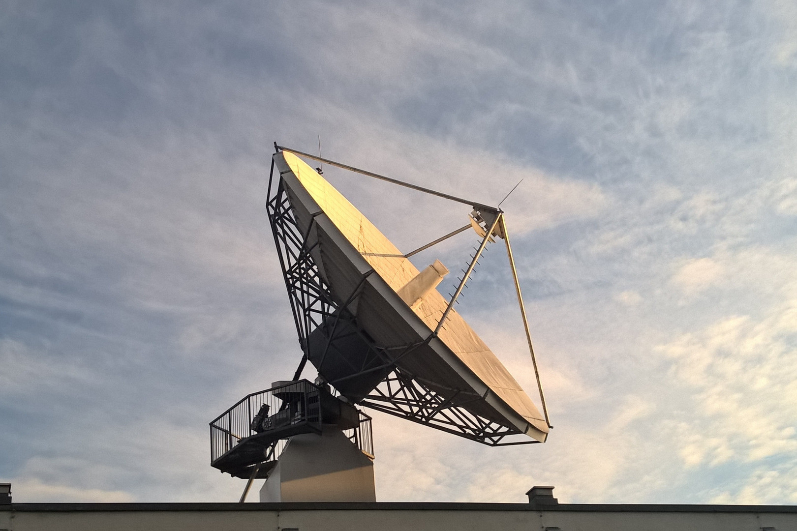
The new system is a 3.7-metre, receive-only antenna designed to receive S-band signals. Its feed hardware is compatible with X-band reception, allowing the capability to be added without replacing the antenna. During commissioning, the antenna completed more than 350 scheduled test contacts without recorded error seconds.
With the second antenna now operational, Rwanda’s teleport can offer greater scheduling capacity to satellite operators while supporting the country’s broader effort to develop commercial, research and public-sector applications for space technology.
The expansion follows a series of steps by Rwanda to position its space infrastructure as a regional service platform. In June, the Mwulire teleport became the first fully certified facility in Sub-Saharan Africa after receiving Tier 3 certification from the World Teleport Association. The certification assesses infrastructure, reliability, operational procedures and service standards.
In August, the government and Planet Labs launched a national program giving government institutions, public universities, selected startups and development partners access to near-daily satellite imagery.
The program is expected to support agricultural monitoring, food-security planning, forest management, urban development and disaster preparedness. Universities will use the imagery for Earth-observation training and research, while selected startups may use the data to develop applications for national priorities.